Lidar enhances SLAM systems with precise data capture in dynamic environments like complex buildings and factories, creating detailed digital twins for improved simulation and planning.
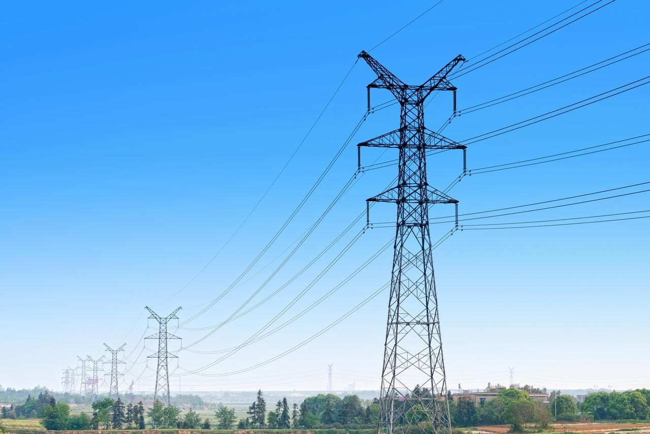
Lidar creates high-precision, real-time 3D scanning of thin power lines that enable detailed analysis for proactive maintenance and reduces outage risks, improving infrastructure reliability while minimizing safety risks.
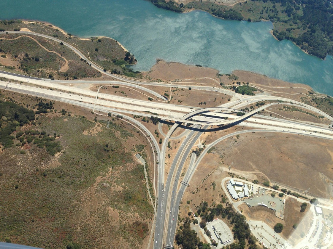
Lidar provides comprehensive evaluations of road conditions. It detects potential hazards like cracks or debris, ensuring timely maintenance and enhancing road safety while optimizing infrastructure lifespan and resource allocation.
Empowering Success: Stories from Our Customers
ABOUT NAVVIS AND ITS VLX3
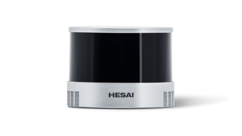
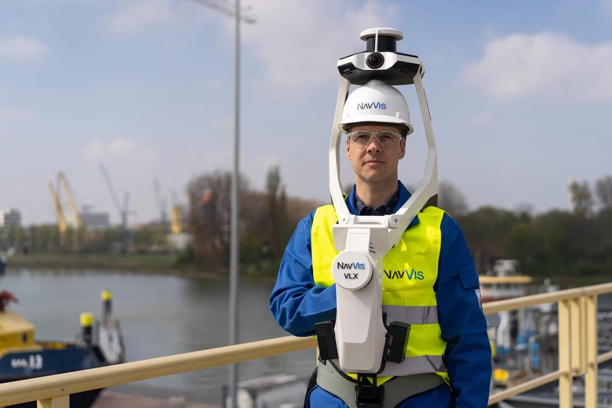
NavVis is a global market leader in mobile perception and reality capture, utilizing simultaneous localization and perception (SLAM) technology to create digital twins of buildings for various industries. The NavVis VLX3 is a cutting-edge wearable perception system that is empowered by Hesai's XT32M lidar.
PAIN POINTS
Challenges in Scanning Precision
Limited range and poor resolution of the conventional scanning devices hinder their ability to deliver precise data. This results in incomplete or inaccurate scans, increasing the time, cost, and effort required for reality capture in demanding scenarios.
HESAI SOLUTION
Centimeter-Level Precision and Long Ranging Capability for Detailed Reality Capture
The XT32M delivers exceptional performance with a ranging capability of up to 300 meters and a 0.5 cm range precision, enabling precise reality capture even in complex environments like multi-story construction sites.
PAIN POINTS
Bulky, Heavy Equipment Reduces Mobility and Efficiency
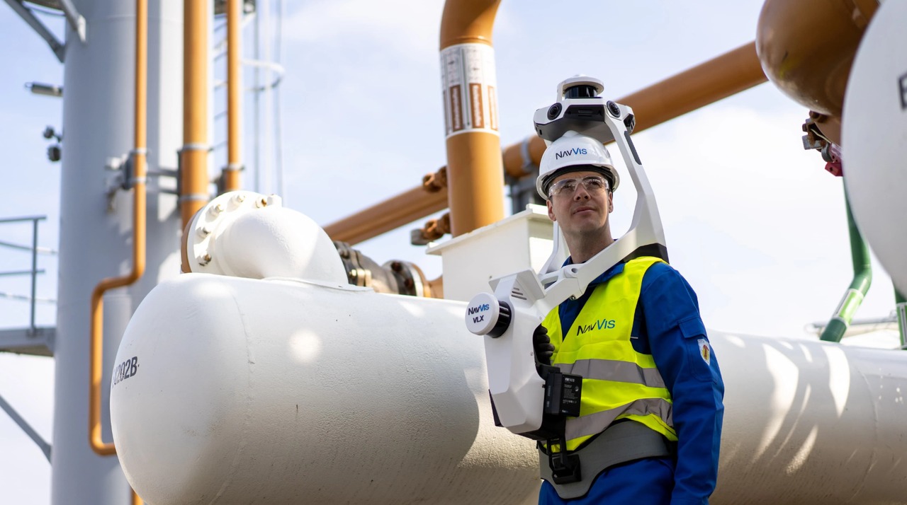
Conventional scanning devices are often large and cumbersome, leading to operator fatigue and limiting movement in confined or challenging spaces, which hampers overall efficiency.
HESAI SOLUTION
Sleek and Lightweight Design for Improved Mobility
Weighing just 490 grams, the XT32M combines exceptional performance with a compact, lightweight design. This reduces operator fatigue during extended use with the VLX3, ensuring both efficient and comfortable reality capture.
PAIN POINTS
Inability to Capture Fine Details in Tight, Intricate Spaces
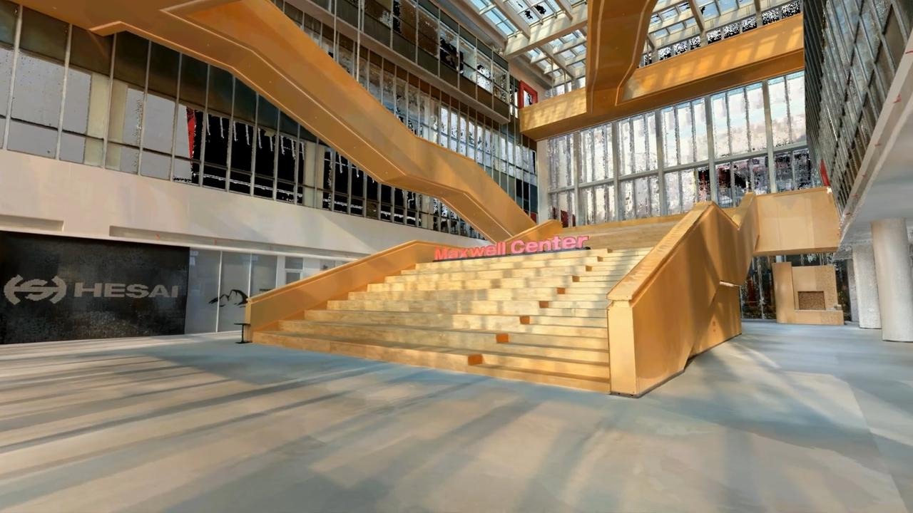
Conventional scanning devices often fall short in capturing detailed data in tight, intricate spaces, such as industrial facilities, where precision is necessary for thorough analysis.
HESAI SOLUTION
Zero Blind Spot for Capturing Intricate Spaces
With a minimum range of zero, the XT32 can effectively detect objects even if they are directly touching the sensor’s enclosure. This enables VLX3's operator to walk up to as close as 0 meter to objects that may not be captured or detailed in a regular imaging device, such as corners of boiler room or tight piping infrastructure.
DRIVING INNOVATION TOGETHER
Connecting with Industry Leaders
Hesai proudly partners with a diverse array of clients across industries, from pioneering startups to established industry leaders in robotics. Our collaborative network encompasses logistics giants, agricultural innovators, urban planners, and surveying experts, among others.


NEED EXPERT ASSISTANCE?
GET IN CONTACT
X

ACCESS DOWNLOADS NOW
Please fill in all fields
X

CONNECT WITH A LIDAR EXPERT TODAY
Connect with our sales team to explore how our cutting-edge technology can empower
your business today.
