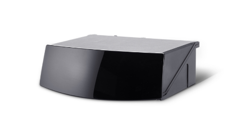
banner
Re-Invent Stationary Applications with 3D Spatial Sensing
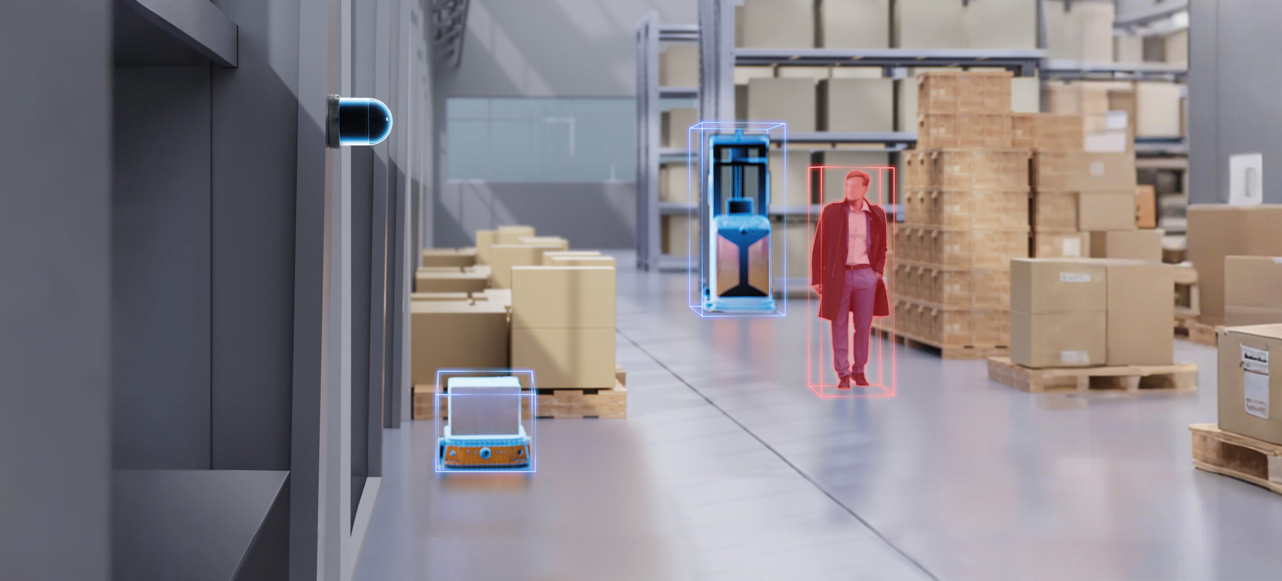
By delivering precise, high-resolution 3D data in real time, lidar enables smarter infrastructure maintenance, enhanced security, and optimized facility management by detecting changes and analyzing environments with unparalleled accuracy. Operating reliably in all conditions, lidar empowers stationary applications 24/7 to achieve new levels of efficiency and intelligence.
banner
Re-Invent Stationary Applications with 3D Spatial Sensing
By delivering precise, high-resolution 3D data in real time, lidar enables smarter infrastructure maintenance, enhanced security, and optimized facility management by detecting changes in the environments with unparalleled accuracy. Operating reliably in all conditions, lidar empowers stationary applications 24/7 to achieve new levels of efficiency and intelligence.
With lidar, autonomous marshalling systems can guide vehicles through predefined paths, avoid collisions, and optimize space usage. This level of precision reduces human error, speeds up operations, and ensures seamless coordination in logistics and fleet management.
In security applications, lidar enhances intrusion detection with high-resolution, real-time point cloud in defined areas. Unlike traditional sensors, lidar minimizes false alarms caused by environmental factors like shadows or foliage, triggering precise alerts and enabling swift response to unauthorized access.
Lidar delivers accurate, real-time point cloud data on road conditions, vehicle flow, and pedestrian movement. Its 3D point cloud data enables smarter traffic management, reducing congestion with dynamic signal adjustments and enhanced incident detection, while also safeguarding privacy by not capturing any facial or personally identifiable data.
Empowering Success: Stories from Our Customers
ABOUT EMBOTECH AND ITS AUTOMATED VEHICLE MARSHALLING SOLUTION

Embotech is a leading provider of autonomous driving solutions for industrial logistics applications that bring significant improvements in safety, productivity, and energy efficiency. It is the first to certify and rollout an Automated Vehicle Marshalling (AVM) solution for a leading global OEM's smart factory. Embotech uses smart infrastructure to automate vehicle operation. This innovative approach minimizes the requirements on the vehicle itself, allowing precise control of almost any standard production car.
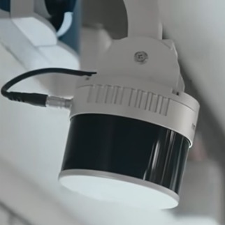
banner

PAIN POINTS

Inefficient Operation Efficiency and Human Errors
Inefficient operations and human errors can substantially impede productivity in vehicle marshalling, driving up costs, delaying timelines, and complicating efforts to achieve streamlined operations.

HESAI SOLUTION

Robust and Reliable All-Day Operations
Hesai's XT32 lidar has past robust reliability tests for long-hour operations around the clock. As lidar actively emits light, XT32 also functions reliably even in low light or complete darkness environments, enabling real all-day operations with enhanced operation efficiency.
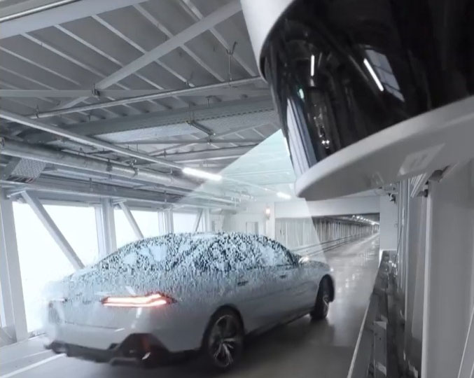
banner

PAIN POINTS

Inaccurate Spatial Perception
Traditional sensing and navigation systems often lack the accuracy needed for detailed spatial awareness, particularly in dynamic or cluttered environments. This can lead to challenges such as poor obstacle detection, inefficient space utilization, and misalignment during vehicle navigation or cargo handling.

HESAI SOLUTION

Centimeter-Level Precision
Hesai's XT32 has undergone rigorous reliability testing to ensure continuous, around-the-clock performance. By actively emitting light, XT32 maintains dependable functionality even in low-light or pitch-dark conditions, supporting true all-day operations and improving operational efficiency.
SETTING THE STANDARD FOR ULTRA-HIGH 3D LIDAR PERCEPTION
Short-Range Lidar

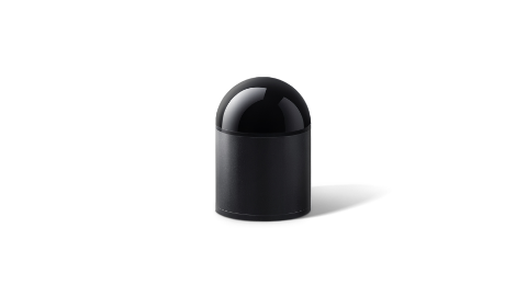
JT128

JT128

*The appearance of products published on this website may vary due to screen display settings, production batches, and customization. Please refer to the actual sample/product; The product specifications shown on this website are typical values under specific test conditions and may slightly vary due to production batches, firmware and hardware versions, as well as application conditions. Please refer to final factory inspection. For product certification information, please refer to official certifications. Hesai reserves the right of final interpretation of the information on this website. *Please read the relevant safety precautions before using the product.

128 (up to 256)

Channels

30 m @10% Reflectivity
[60 m Max]

Ranging Capability
360° x 187°
Field of View
10 Hz; 20 Hz
Scanning frequency

Φ60 x H68 mm

Dimensions
<250 g
Weight
Built inside
IMU

Long-Range Lidar

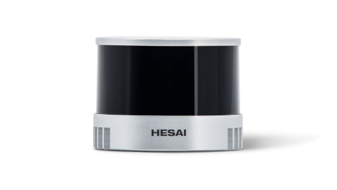
OT128

OT128

*The appearance of products published on this website may vary due to screen display settings, production batches, and customization. Please refer to the actual sample/product; The product specifications shown on this website are typical values under specific test conditions and may slightly vary due to production batches, firmware and hardware versions, as well as application conditions. Please refer to final factory inspection. For product certification information, please refer to official certifications. Hesai reserves the right of final interpretation of the information on this website. *Please read the relevant safety precautions before using the product.

200 m @10% Reflectivity
[230 m Max]

Ranging Capability
3.46M pts/s [Single Return]
6.91M pts/s [Dual Return]
POINT RATE
360° x 40°
Field of View

0.1° (H) x 0.125° (V)

Angular Resolution
29 W
Power Consumption

Φ 118 x H 132.3 mm

Dimensions

Mid-Range Lidar

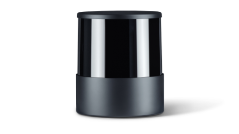
XT16/32/32M

XT16/32/32M

*The appearance of products published on this website may vary due to screen display settings, production batches, and customization. Please refer to the actual sample/product; The product specifications shown on this website are typical values under specific test conditions and may slightly vary due to production batches, firmware and hardware versions, as well as application conditions. Please refer to final factory inspection. For product certification information, please refer to official certifications. Hesai reserves the right of final interpretation of the information on this website. *Please read the relevant safety precautions before using the product.

XT16
XT32
XT32M

0.05 ~ 120 m

Ranging Capability

0.5 cm 1σ

Range Precision

±1 cm

Accuracy
320,000 pts/s [Single Return]
Point Rate
360° x 30°
Field of View

0.18° (H) x 2° (V)

Angular Resolution

Φ 76 x H 103.2 mm

Dimensions
800 g
Weight

0.05 ~ 120 m

Ranging Capability

0.5 cm 1σ

Range Precision

±1 cm

Accuracy
640,000 pts/s [Single Return]
Point Rate
360° x 31°
Field of View

0.18° (H) x 1° (V)

Angular Resolution

Φ 76 x H 103.2 mm

Dimensions
800 g
Weight

0.5 ~ 300 m

Ranging Capability

0.5 cm 1σ

Range Precision

±1 cm

Accuracy
640,000 pts/s [Single Return]
Point Rate
360° x 40.3°
Field of View

0.18° (H) x 1.3° (V)

Angular Resolution

Φ 76 x H 93 mm

Dimensions
490 g
Weight

  • JT128
  • OT128
  • XT16/32/32M
DRIVING INNOVATION TOGETHER
Connecting with Industry Leaders
Hesai proudly partners with a diverse array of clients across industries, from pioneering startups to established industry leaders in robotics. Our collaborative network encompasses logistics giants, agricultural innovators, urban planners, and surveying experts, among others.
NEED EXPERT ASSISTANCE?

GET IN CONTACT

X

ACCESS DOWNLOADS NOW

Please fill in all fields

Name(Required)
INDUSTRY(Required)
X

CONNECT WITH A LIDAR EXPERT TODAY

Connect with our sales team to explore how our cutting-edge technology can empower your business today.